Small but mighty.

Recommended accessory for Mid-360S
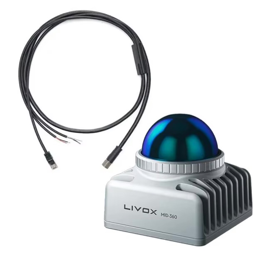
RJ45 data connector, PVC-shielded cable — made for the Mid-360S. Other lengths (15 cm – 10 m) available on request.
Mid-360S is the latest-generation 3D LiDAR sensor from Livox, designed for mobile robots. Distributed in Poland and Europe by TPI, with local technical support and service. Its advanced hybrid rotating-mirror technology delivers full 360° spatial perception with high precision and reliability. A compact, lightweight build makes it easy to integrate across a wide range of robotic platforms, supporting stable navigation and obstacle avoidance both indoors and outdoors.
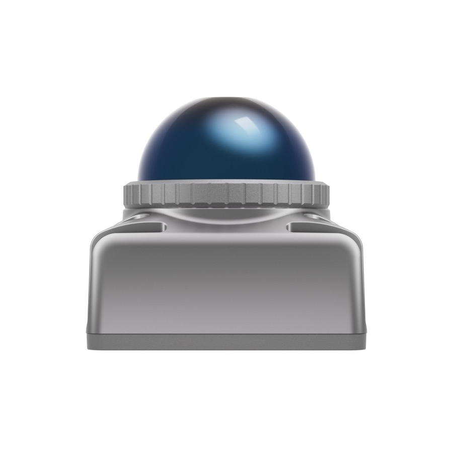 Front view
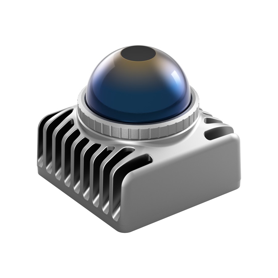 Passive heatsink
 Aviation connector · 9–27 V DC
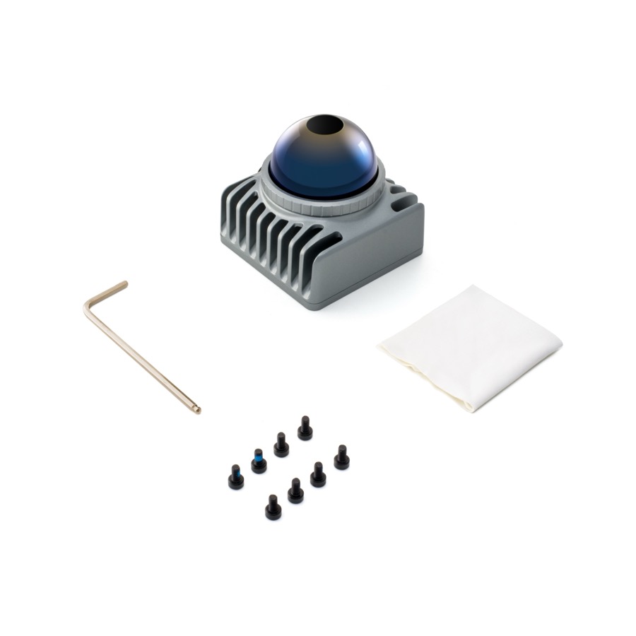 Mounting kit
Unlike conventional mechanical LiDAR sensors, Mid-360S uses proprietary hybrid rotating-mirror technology. It delivers a horizontal field of view of 360° and a vertical field of view of 59°. Omnidirectional scene coverage lets mobile robots accurately perceive their surroundings from every direction — the foundation on which a robot plans its route and makes decisions.
Mid-360S packs serious performance into a small housing, making discreet integration easy and opening up new possibilities for sleek robotic platform designs — from AGVs to compact service robots.
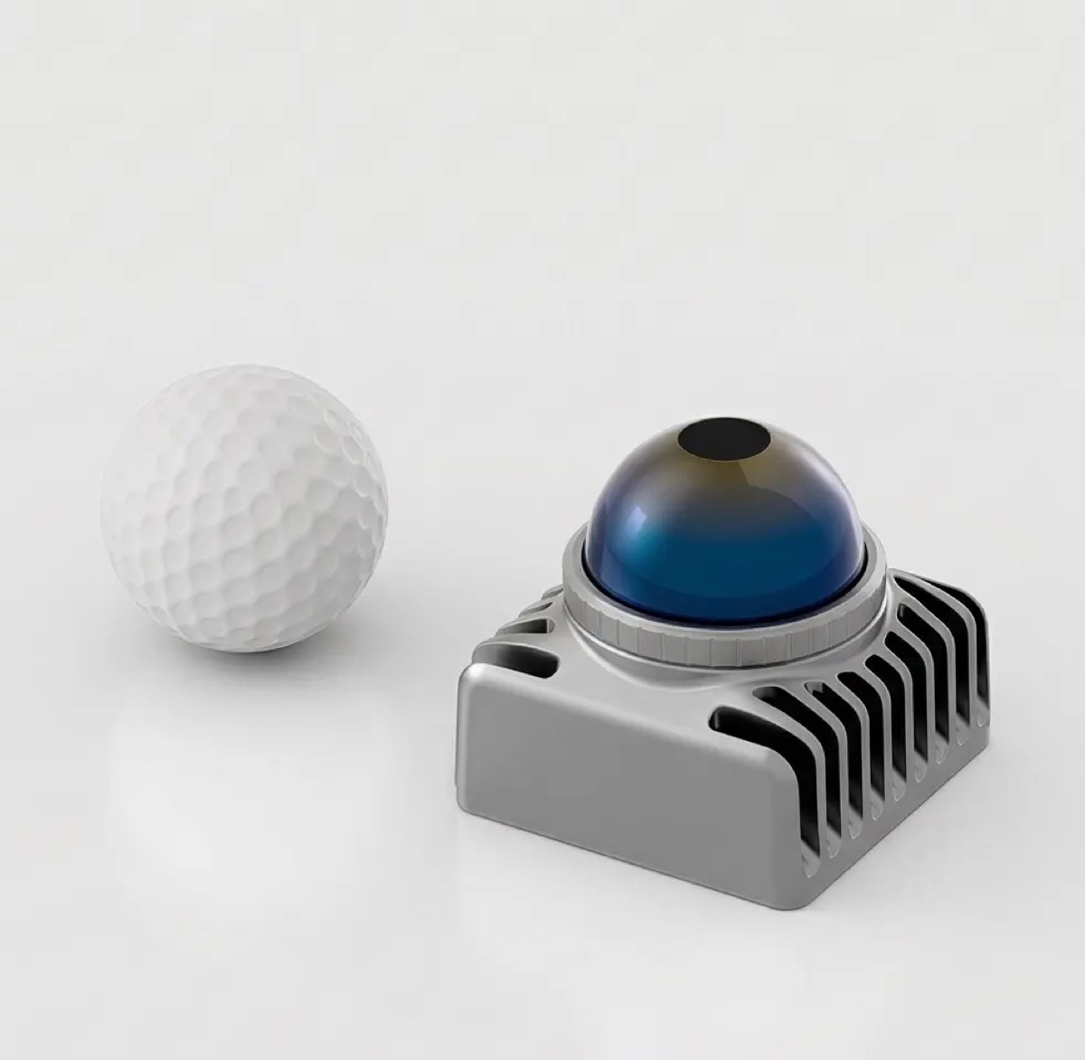
Mid-360S next to a golf ball — actual size
Mid-360S detects objects from as close as 10 cm, delivering a virtually zero blind zone around the housing. Active anti-interference keeps performance stable even with multiple LiDAR sensors operating simultaneously in the same room, and sensor performance is unaffected by ambient light.
Minimum detection range, virtually no blind zone
Resistance to interference from other LiDAR sensors nearby
Stable range regardless of ambient light — day or night
Angular resolution improves as integration time increases:

0.1 s integration

0.5 s integration

2 s integration
Compared with 2D single-line LiDAR sensors, Mid-360S delivers advanced 3D perception that enables mobile robots to collect sufficient environmental data for mapping and positioning. This eliminates the need to modify the spatial environment and greatly improves efficiency. In addition, the angular resolution of Mid-360S improves significantly with integration time. This greatly enhances small-object detection to ensure safe operation.
Mid-360S is not affected by ambient light either indoors or outdoors. Its rich point cloud data assists mobile robots in navigation, obstacle avoidance and even detection classification — fully unlocking the potential of AI.
Mid-360S replaces a set of several 2D sensors with a single compact 3D module — it earns its place wherever weight, size and full scene coverage matter.
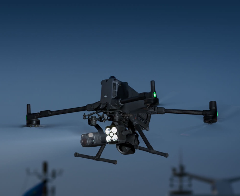
Mounted on multirotor platforms such as DJI Matrice 400, Mid-360S gives the aircraft real-time 3D awareness for terrain-following, making inspection flights safer.
Real-time LiDAR point cloud visualization gives clearer, more intuitive obstacle detection than FPV alone. That matters most with small obstacles or night operations, giving agricultural drone operators better situational awareness and safety.

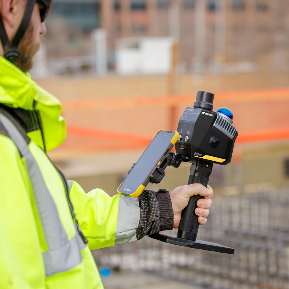
Handheld systems — such as the Topcon CR-S2 — are one of the fastest-growing uses for sensors like the Livox Mid-360, pairing real-time SLAM positioning with dense, colorized point-cloud capture. Devices in this class share characteristic specs: up to 200,000 points per second and range up to 70 m at 80–90% reflectivity, with accuracy around 2 cm and single-operator use. Full horizontal coverage means the operator doesn't have to aim the head — they simply walk normally, and the point cloud builds up around them, vertically too: floor, walls and ceiling captured in one pass.
Typical applications include as-built documentation and scan-to-BIM, construction progress monitoring, underground space inventory, stockpile volume measurement, and rapid incident documentation. It's worth noting that mobile scanning carries trajectory drift — where single-point survey-grade accuracy is required, a static scanner or total station remains the right tool.
Mounted on AGV forklifts, Mid-360S delivers full 360° coverage around the vehicle, eliminating blind spots during loading and unloading in narrow warehouse aisles.
An IP67 housing at 265 g allows mounting on the cabin roof or a mast without modifying the load-bearing structure, while a built-in IMU and the Livox ROS Driver 2 shorten the path from prototype to production deployment.
The sensor handles perception and navigation — in applications subject to machine-safety requirements, it works alongside a certified safety scanner, not as a replacement for one.
In autonomous mobile robots (AMRs) and in legged robots such as Unitree, the Mid-360 LiDAR head delivers dense 3D data for mapping and navigation, replacing a set of several 2D sensors with a single compact module mounted on top of the platform.
Full horizontal coverage eliminates blind spots around the robot, so the same sensor handles localization, obstacle detection and docking — without adding directional sensors and without cross-calibrating several devices at different mounting heights. The tall vertical field of view matters especially on quadruped platforms: with every step the robot’s body rocks in pitch and roll, and a planar LiDAR loses its reference to the surroundings. The Mid-360 keeps both the floor and overhead structures continuously in view, which makes it possible to guide the robot over stairs, gratings and uneven technical terrain.

In inspection robots, Livox Mid-360 removes the usual split between a “sensor for driving” and a “sensor for measuring”. The same head guides the platform around the site and, at the same time, records the point cloud that becomes documentation of the installation’s condition. For an integrator that means less hardware on board, a single data stream to synchronize and a lower unit cost per robot.
A 360° × 59° field of view covers everything around the platform with no blind spots — no array of directional sensors, no rotating head. A 0.1 m minimum detection range lets it work in tight passages and while docking. With a built-in IMU, an IP67 rating, 265 g and 65 × 65 × 60 mm, it fits even on a small platform.


Both share the same 360° platform — full spec-by-spec comparison below.
 Mid-360SYou’re here Mid-360SYou’re here |  Mid-360Previous generation Mid-360Previous generation | |
|---|---|---|
| Range (@100 klx) | 40 m @10% 100 m (cut-off) | 40 m @10% 70 m @80% |
| False alarm rate (@100 klx) | < 0.01% | < 0.01% |
| Range precision | ≤ 2 cm (@10 m) ≤ 4 cm (@0.2 m) | ≤ 2 cm (@10 m) ≤ 3 cm (@0.2 m) |
| Angular random precision (1σ) | < 0.15° | < 0.15° |
| Horizontal FOV | 360° | 360° |
| Vertical FOV | −7°…52° | −7°…52° |
| Beam divergence | 0.1° × 1° | 0.1° × 1° |
| Data rate | 200,000 pts/s (first return) | 200,000 pts/s (first return) |
| Supply voltage | 9–27 V DC | 9–27 V DC |
| Power | Rated ≤ 6.5 W Startup ≤ 18 W | Rated ≤ 6.5 W Startup ≤ 18 W |
| Dimensions (L×W×H) | 65 × 65 × 60 mm | 65 × 65 × 60 mm |
| Weight | 265 g | 265 g |
| Operating temperature | −20 °C…55 °C | −20 °C…55 °C |
| Time synchronization | IEEE 1588-2008 (PTPv2) GPS (UTC + PPS) | IEEE 1588-2008 (PTPv2) GPS (UTC + PPS) |
| Data interface | 100 Mbps Ethernet | 100 Mbps Ethernet |
| Laser wavelength & safety class | 905 nm · Class 1 | 905 nm · Class 1 |
| Ingress protection | IP67 | IP67 |
Source: official Livox specification sheet.
| Model | Mid-360S |
|---|---|
| Laser wavelength | 905 nm |
| Laser safety class | Class 1 (IEC60825-1:2014) — eye-safe |
| Detection range (@100 klx) | 40 m@10% reflectivity (typical) · 100 m (cutoff range) 3 |
| Blind zone | 0.1 m 2 |
| Field of view (FOV) | Horizontal: 360° · Vertical: −7°…52° (typical) |
| Range precision (1σ) | ≤ 2 cm (@10 m) · ≤ 4 cm (@0.2 m) |
| Angular precision (1σ) | < 0.15° |
| Point rate | 200,000 pts/s (first return) |
| Frame rate | 10 Hz (typical) |
| Data port | Ethernet 100 BASE-TX |
| Data synchronization | IEEE 1588-2008 (PTPv2), GPS |
| Anti-interference | Active function, available by default |
| False alarm rate (@100 klx) | < 0.01% |
| IMU | Built-in |
| Operating temperature | −20°C to 55°C |
| IP rating | IP67 |
| Power consumption | 6.5 W (typical) |
| Supply voltage | 9–27 V DC |
| Dimensions | 65×65×60 mm |
| Weight | 265 g |
| SDK compatibility | Livox SDK2, ROS / ROS2 |
Official documentation published by Livox — always the current version, straight from the source.
GPS (PPS + GPRMC) and PTP (IEEE 1588-2008 PTPv2) — both can be combined depending on your fleet architecture and network infrastructure.
Non-repetitive scanning based on hybrid rotating-mirror technology, delivering growing scene coverage as integration time increases.
Yes, factory-calibrated relative to the point cloud coordinate system.
9–27 V DC. Between −20°C and 0°C the sensor automatically enters a self-heating mode, where power draw can temporarily rise to about 14 W.
Yes, Mid-360S is fully compatible with Livox SDK2 and the ROS/ROS2 drivers used across the other models.
Yes — the active anti-interference function keeps performance stable even with multiple units transmitting on the same band, including indoors.
Yes, sensor performance is unaffected by ambient light — detection range stays stable in both bright sunlight and darkness.
The estimated MTTF is about 30,000 hours, calculated from accelerated-aging tests under controlled conditions.
