Recommended accessory for Avia 2
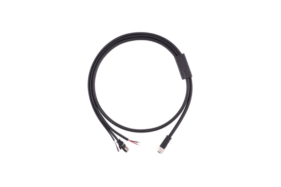
RJ45 data connector, PVC-shielded cable — made for the Avia 2. Other lengths (15 cm – 10 m) available on request.
Avia 2 is our longest-range LiDAR sensor. Built around a laser operating in the 1535 nm band1 with a microscopic beam spot, it reaches a maximum detection range of up to 1000 m2 and lets you switch between a wide and narrow field of view. A built-in rain and fog noise reduction algorithm delivers stable, dense point clouds even in difficult weather conditions.
* equivalent to approx. 600 m at 10% reflectivity
 Cooling fan panel
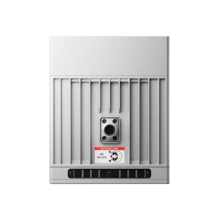 Aviation connector · 9–27 V DC
 Optical window
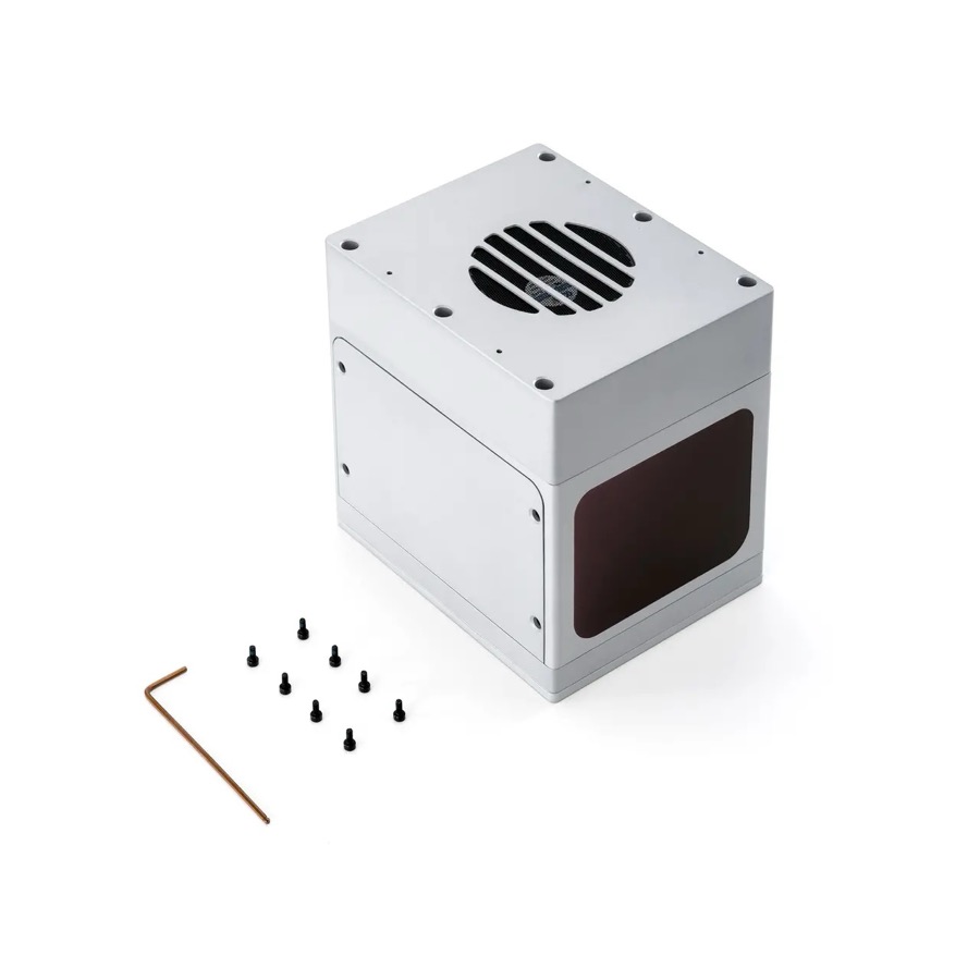 Mounting kit included
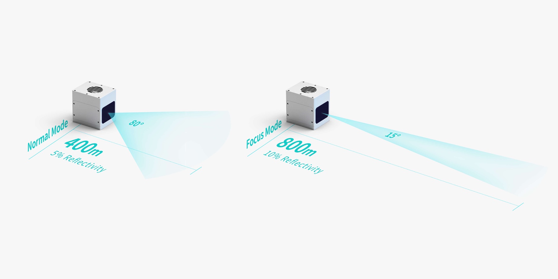
Avia 2 uses a 1535 nm laser1 with concentrated energy and a smaller beam spot, driving a step change in range. It detects targets with 5% reflectivity at 400 m (equivalent to approx. 600 m at 10% reflectivity) in Normal mode, and in Focus mode detects targets with 10% reflectivity up to 800 m from the sensor — with a maximum cutoff range of 1000 m. A single device covers extreme distances, significantly lowering deployment cost.

With a beam divergence of 0.25 × 0.25 mrad, the spot diameter at 100 m is just 2.5 cm. This concentrated energy makes it possible to precisely detect thin objects — power lines, branches or structural elements — from a great distance, while also penetrating dust and raindrops to reduce measurement noise.

Avia 2 uses high-precision sampling to identify the signatures of interference such as raindrops, and effectively filters out abnormal noise during precipitation. This increases point cloud usability, reduces data processing load, and keeps the sensor operating reliably year-round, regardless of weather.

The sensor offers two operating modes: 80°×80° in Normal mode for wider scene coverage, and 15°×15° in Focus mode for greater detection range. Users can flexibly switch between them as needed — without swapping hardware.
Avia 2 was engineered for high reliability and stability. Its estimated MTTF reaches 62,500 hours, and the unit operates across temperatures from −20°C to 65°C. This durability significantly reduces operating and service costs across multi-year deployments.
Avia 2 continuing to operate through heavy frost buildup
A scanning method based on a wedge prism guarantees that every scan trajectory is unique. As scan time increases, unscanned areas shrink and scene coverage becomes progressively denser — enabling detection of even small objects at medium and long range.
Non-repetitive scan buildup — Normal mode vs Focus mode, 5 s
Kilometer range and a microscopic beam spot mean a single Avia 2 replaces many short-range sensors.
A single Avia 2 covers a stretch of power line up to a kilometer long, significantly reducing deployment costs. Its microscopic beam spot precisely detects thin objects: wires, branches or crane arms. Combined with non-repetitive scanning, it delivers rich point cloud detail, cutting down false alarms.
Enables remote monitoring of track condition over long distances and detection of small obstacles — rocks, branches or slope slides — even in difficult weather. The wide 80°×80° field of view in Normal mode covers embankments on both sides of tunnel entrances as well as the overhead catenary system.
In dusty, poorly lit environments such as storage yards or silos, the sensor effectively penetrates dust, delivering stable data with a high signal-to-noise ratio. A single device covers extensive material piles, simplifying inventory automation at a lower deployment cost.
Thanks to its long range, a single Avia 2 covers extensive bodies of water. Combining non-repetitive scanning with centimeter-level accuracy captures consistent point clouds throughout a vessel's passage. The rain and fog noise reduction algorithm keeps performance stable in variable weather, supporting safe, round-the-clock navigation.
Same lineage, a full generation apart — Avia 2 trades the original 905 nm laser for a 1535 nm design with far greater range. Avia spec data from Livox’s own datasheet, shown here for reference.
 Avia 2You’re here | 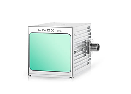 AviaPrevious generation | |
|---|---|---|
| Range (@100 klx) | Normal: 400 m @5% Focus: ≥800 m @10% | 190 m @10% 230 m @20% 320 m @80% |
| False alarm rate (@100 klx) | ≤ 0.01% | < 0.0003% |
| Range precision | 5–400 m: ≤ 4 cm @1σ 400–700 m: ≤ 6 cm @1σ | < 2 cm @20 m (80%) |
| Angular random precision (1σ) | ≤ 0.02° | < 0.05° |
| Horizontal FOV | Normal: 80° Focus: 15° | 70.4° |
| Vertical FOV | Normal: 80° Focus: 15° | 77.2° |
| Beam divergence | — | 0.28° × 0.03° |
| Data rate | Normal: 350,000 pts/s Focus: 100,000 pts/s | 240,000 pts/s 480,000 (dual echo) 720,000 (triple echo) |
| Supply voltage | 9–27 V DC | 10–15 V DC |
| Power | Regular: 55 W start / 50 W steady Low temp: 55 W start / 45 W steady | Rated ≤ 9 W Startup ≤ 31 W |
| Dimensions (L×W×H) | With fan: 146 × 113 × 139 mm Without fan: 146 × 113 × 103 mm | 91 × 61.2 × 64.8 mm |
| Weight | With fan: ≤ 1.8 kg Without fan: ≤ 1.5 kg | 498 g (excl. cables) |
| Operating temperature | −20 °C…65 °C | −20 °C…65 °C |
| Time synchronization | GPS (PPS + GPRMC) PTP (IEEE 1588) NTP | IEEE 1588-2008 (PTPv2) PPS GPS (UTC + PPS) |
| Data interface | 100 Mbps Ethernet | 100 Mbps Ethernet |
| Laser wavelength & safety class | 1535 nm · Class 1 | 905 nm · Class 1 |
| Ingress protection | IP66 | IP67 |
Avia (1st generation) is shown for reference only — TPI currently distributes Avia 2.
| Model | Avia 2 |
|---|---|
| Laser wavelength | 1535 nm 1 |
| Laser safety class | Class 1 (IEC60825-1:2014) — eye-safe |
| Detection range (@100 klx) 2 | Normal: 400 m@5% reflectivity (~600 m@10% eq.) · Focus: ≥ 800 m@10% reflectivity |
| Max. detection range 2 | Normal: 400 m · Focus: 1000 m |
| Field of view (FOV) 3 | Normal: 80°×80° · Focus: 15°×15° |
| Blind zone | 5 m @ 80% reflectivity |
| Range accuracy and precision 4 | 5–400 m: accuracy ≤5 cm, precision ≤4 cm@1σ · 400–700 m: accuracy ≤10 cm, precision ≤6 cm@1σ |
| Angular precision | ≤ 0.02°@1σ |
| Point rate | Normal: 350,000 pts/s · Focus: 100,000 pts/s |
| Point cloud data format | x / y / z / intensity / tag (Cartesian coordinates) |
| False alarm rate (@100 klx) 5 | ≤ 0.01% |
| Return mode | Strongest return, first return, dual return |
| IMU | Built-in, model LX-IMU640 |
| Operating temperature 6 | −20°C to 65°C |
| IP rating | IP66 |
| Power consumption 7 | Room temperature: 55 W start-up / 50 W steady-state · Low temperature: 55 W start-up / 45 W steady-state |
| Supply voltage | 9–27 V DC |
| Data port | Ethernet 100 Mbps |
| Data synchronization | GPS (PPS + GPRMC), PTP (IEEE 1588), NTP |
| Dimensions | With fan: 146×113×139 mm · Without fan: 146×113×103 mm (± 0.5 mm) |
| Weight | With fan: ≤ 1.8 kg · Without fan: ≤ 1.5 kg |
| SDK compatibility | Livox SDK2, ROS / ROS2 |
Official documentation published by Livox — always the current version, straight from the source.
At low ambient temperature (fan off), start-up power reaches 55 W, with steady-state power around 45 W. We recommend sizing the power supply with at least a 20% margin above peak.
To get a stable reading near 1000 m in Focus mode, we recommend integrating data over at least several to a dozen or so seconds of scanning — the exact time depends on target size and reflectivity.
We don't recommend removing the housing — it voids the IP66 rating and the warranty. For OEM projects we offer a dedicated modular version on individual request.
Near the lower end of the supply range (9 V DC), account for voltage drop along the cable — for runs longer than 5 m we recommend a cable with a cross-section of at least 1 mm².
Yes. The power/data connector is protected against current surges and supports safe connection and disconnection while powered.
Yes, it's active out of the box. Sensitivity and operating mode can be adjusted in Livox SDK2 or the device's configuration panel.
A built-in thermal system automatically adjusts fan speed based on internal temperature. Below −10°C the fan stays off to reduce power consumption.
IP66 — full protection against dust and powerful water jets from any direction.
The center of the built-in IMU coincides with the origin of the point cloud coordinate system (0,0,0) — IMU and LiDAR data are factory-calibrated relative to each other.

